Quick DA

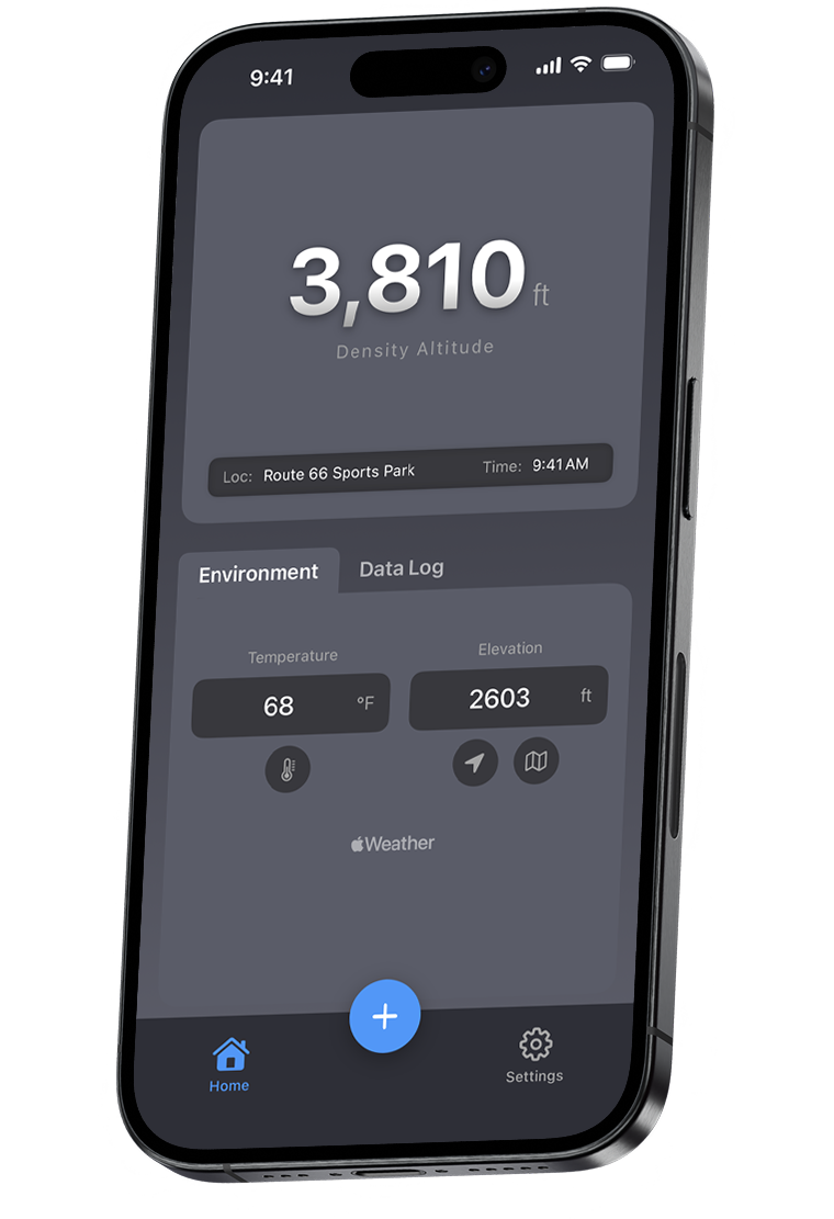
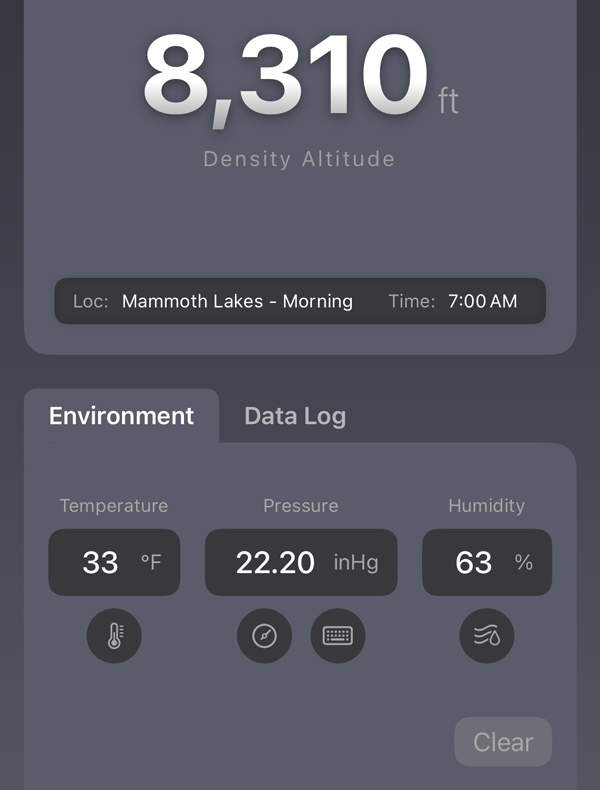
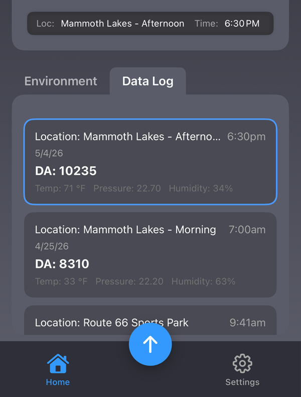
Density Altitude. Simplified.

Air density changes everything. Quick DA uses your phone's GPS, onboard barometric sensor, and real-time weather data to deliver a precise density altitude reading in seconds — giving you the number that serious shooters, racers, and athletes use to perform at their best, wherever you are.

Quick DA density altitude app running on iPhone
Watch

Features

Built for simplicity.

Quickly and accurately manage density altitude right from the tool in your pocket.

Precise Location = Precise Elevation

Use your devices GPS to quickly find your current elevation or use the map feature to find the precise elevation of anywhere you select on the map.

Quick DA map view — tap any location to get precise GPS elevation for density altitude
Quick DA environment inputs — temperature, barometric pressure, and humidity for precise density altitude calculation

Environment Input Options

Multiple environmental input options to suit a variety of scenarios. Get a quick density altitude estimate with Temperature and Elevation, or refine accuracy for ballistics and performance use by adding Pressure and Humidity inputs.

Log Your Data

Save your DA calculations for future reference. At a glance, see relevant information for each data log. Load a data log back into the environment tab to make changes.

Quick DA data log showing saved density altitude readings with location and conditions

Watch

See Quick DA in action.

Video coming soon

FAQ

Common Questions

What is Quick DA?

Quick DA is a density altitude app for iPhone. It delivers instant, precise density altitude readings in the field using your phone's GPS, onboard barometric sensor, and real-time weather data. DA stands for Density Altitude — Quick DA is short for Quick Density Altitude.

What is density altitude and why does it matter?

Density altitude is the pressure altitude corrected for non-standard temperature — it represents the effective air density at a given location. It directly affects how bullets fly, how engines perform, and how much oxygen is available for athletes. On a hot, humid day, your density altitude can be thousands of feet higher than your actual elevation, significantly impacting ballistics and performance.

How does Quick DA calculate density altitude?

Quick DA uses your iPhone's GPS to determine elevation, your phone's barometric pressure sensor for real-time pressure data, and integrates temperature and humidity inputs. These are combined using the standard density altitude formula to give you a precise reading. You can also manually enter values or use the built-in map to calculate the density altitude of any location within the USA & Canada.

Who is Quick DA for?

Quick DA is built for anyone where precision matters: long-range shooters and ballistics enthusiasts who need density altitude for trajectory calculations, motorsports drivers and teams optimizing engine performance at altitude, and endurance athletes or coaches managing training at elevation. If air density affects your performance, Quick DA gives you the number.